The History and Life of Ufton:
A Warwickshire Village Through the Ages
Nestled in the gently undulating countryside of Warwickshire, the small village of Ufton is a testament to England’s rich rural heritage. With its ancient church, historic pub, and scenic views across the landscape, Ufton combines centuries of history with contemporary village life. This report explores the evolution of this small but significant settlement, from its medieval origins to its present-day community.
Geographic Setting and Landscape
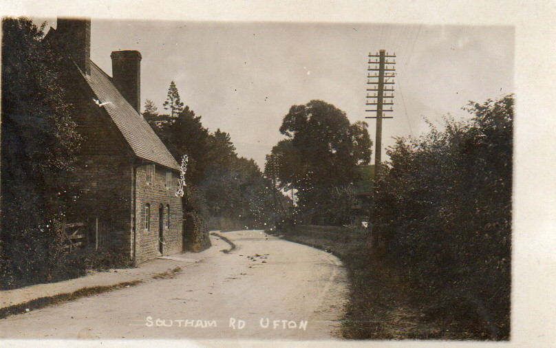
Ufton is approximately five miles southeast of Royal Leamington Spa and two miles west of Southam on the A425 road. What makes Ufton topographically distinctive is its position on top of an escarpment nearly 400 feet above sea level, formed during the last ice age. This elevated position contributes to its character and historical defensibility.
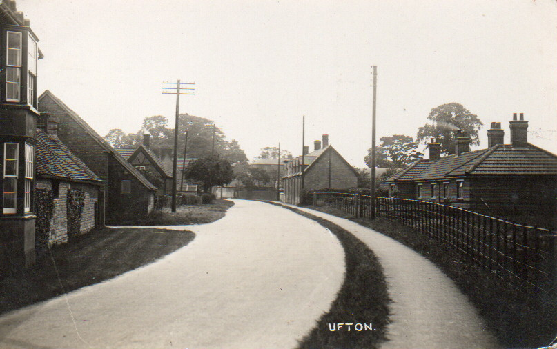
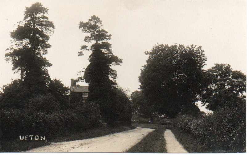
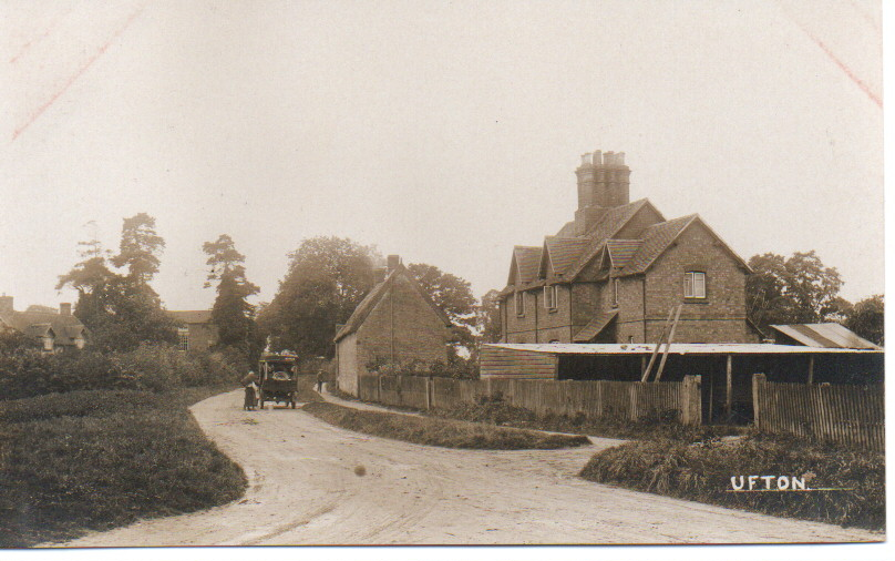
The parish encompasses 1,793 acres of land, with the village built mainly along a by-road running southwards. Two small streams originate near the centre of the parish, flowing eastwards to the Itchen at Southam and northwards to join a tributary of the Leam. The parish’s northern boundary is partly formed by the Warwick branch of the Grand Union Canal, which is within walking distance of the village. Ufton Wood occupies a considerable area in the northeast corner of the parish, adding to the landscape’s natural beauty.
Perhaps the most significant natural feature in the area is Ufton Fields, a 77-acre Site of Special Scientific Interest (SSSI) located to the southeast of the village. This site has a fascinating history – originally agricultural land, it was used for limestone quarrying in the 1950s by Portland Cement (later Blue Circle Cement). After quarrying ceased, the land was transferred to Warwickshire County Council in 1972, became a local nature reserve, and gained SSSI status in 1981. Today, it offers a diversity of habitats including grassland, woodland, ponds, and pools, and is particularly known for its abundance of invertebrates, especially butterflies.
Historical Origins and Development
Etymology and Early References
The origin of the name Ufton remains somewhat uncertain. In the Long Itchington Charter, the area was called “Wulluht Graf”, which translates to “Ufton Wood” in modern English. By the time of the Domesday Book in 1086, it was recorded as “Ulchtune”. One theory suggests the name derives from a Danish chief named Ulla who lived in the area, though this remains speculative.
Medieval Ufton
The Domesday survey of 1086 provides our earliest detailed record of Ufton, listing it in Stoneleigh Hundred. According to this record, Ufton contained four hides (a unit of land measurement), had land for eight ploughs, and was home to 7 slaves, 12 villagers, and two smallholders with six ploughs. The value was assessed before 1066 at £4, later at 40 shillings, and at the time of the survey at 100 shillings, indicating fluctuations in prosperity around the Norman Conquest.
A 1695 map by Hewitt depicts a series of elongated narrow properties stretching back at right angles from each side of Ufton Fields (which until recently was always known as Harbury Lane), revealing the underlying rectangular shape of the medieval village layout.
The parish church of St. Michael dates back at least to the beginning of the 13th century. The church’s history has some complexities—Bishop Roger de Clinton is said to have constituted the church as a prebend in Lichfield Cathedral, and a prebendary of Ufton appears in records from 1255. By 1319, the church had been divided into two moieties, each considered a prebend.